Skip navigation links

Buy now

Please purchase all our products from these authorized dealers only to ensure that you receive full support in Warranty and replacement matters.

GPSMAP 65

GPSMAP 65

Part Number 010-02451-01

SHOP ONLINE

GPSMAP 65 GPSMAP 65 GPSMAP 65 GPSMAP 65 GPSMAP 65

FIND YOUR WAY IN THIS BIG, WIDE WORLD

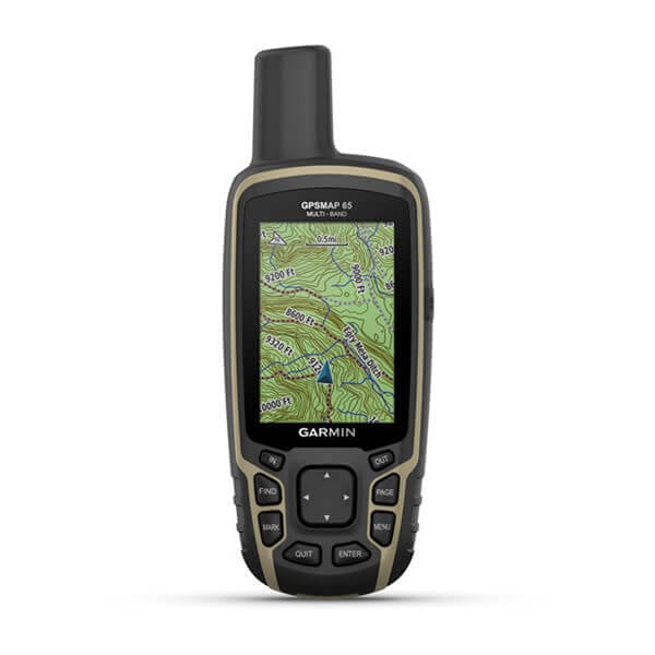
Explore more with this rugged handheld that offers multi-band frequency support for our most accurate position to date, a 2.6” color display and preloaded maps.

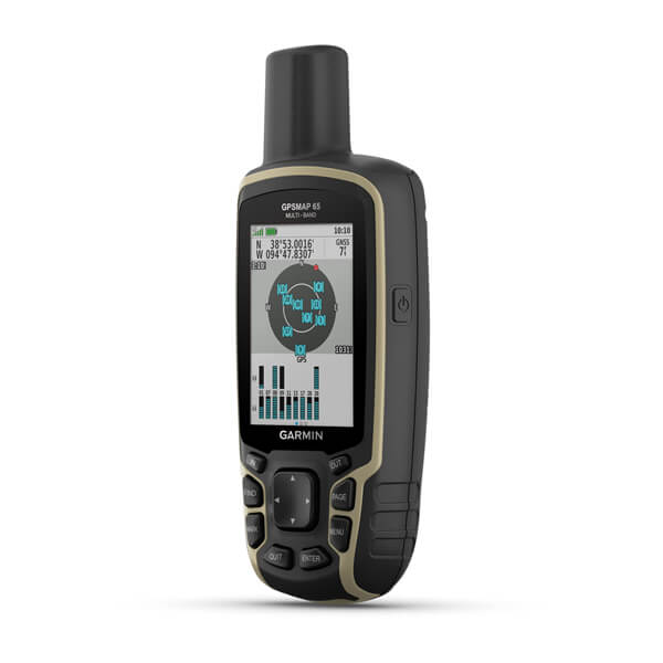
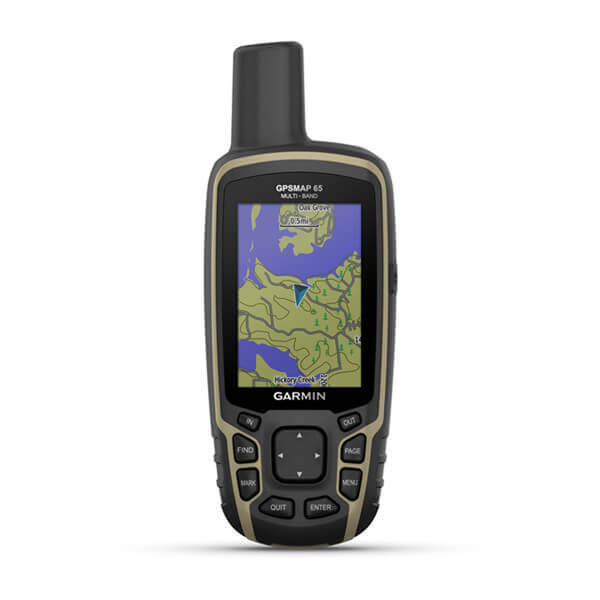
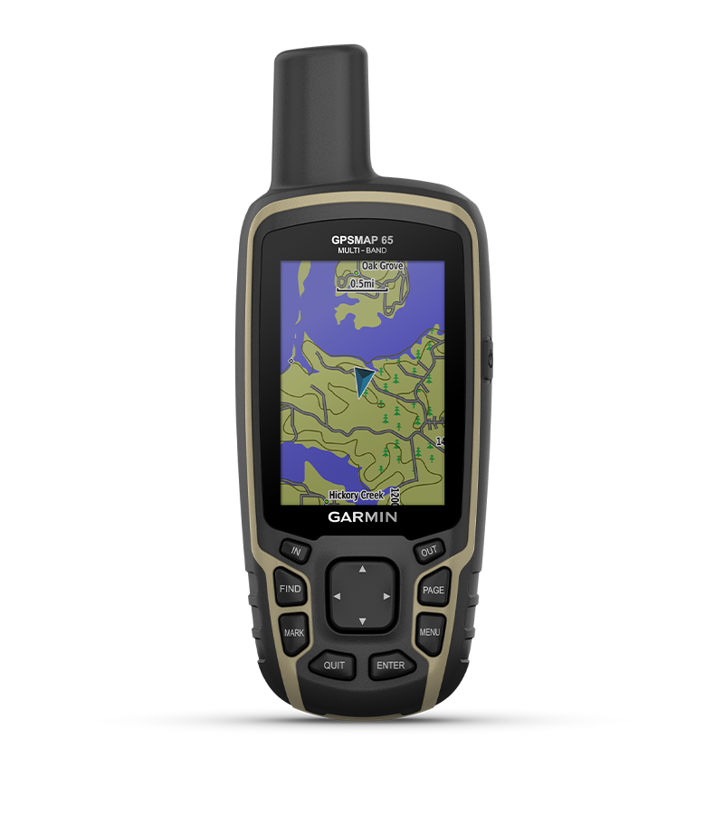
Don’t miss a detail with this large, sunlight-readable color display.

Lead the way in challenging locations with multi-band technology and expanded GNSS satellite support.

Cross the countryside with routable TopoActive maps for the U.S. and Canada.

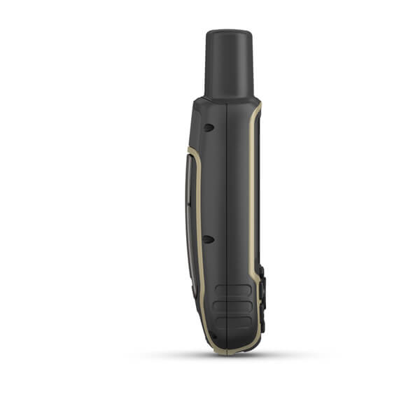
Venture confidently. This rugged handheld is built for tough environments.

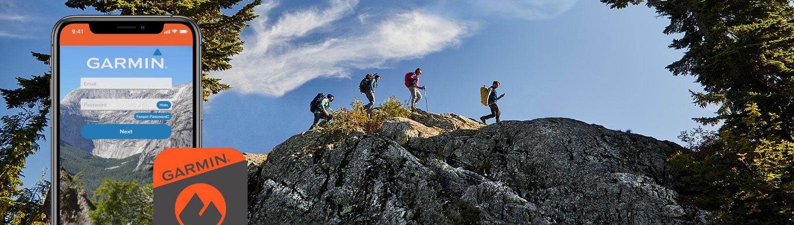
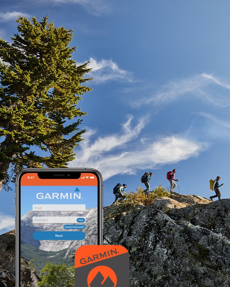
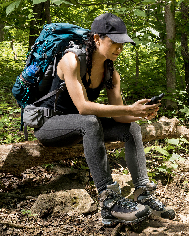
Organize your adventure from anywhere with the Garmin Explore website and app1.

Travel with up to 16 hours of battery life in GPS mode.

Follow your path.

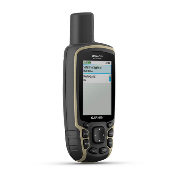
EXPANDED GNSS SUPPORT

Access multiple global navigation satellite systems (GPS, GLONASS, GALILEO and QZSS) to track in more challenging environments.

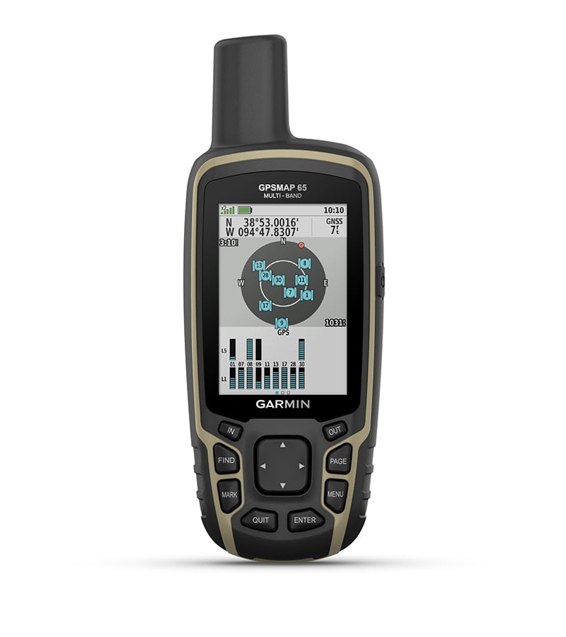
MULTI-BAND FREQUENCY SUPPORT

Receive and utilize multiple frequencies sent by navigation satellites which enables improved user position accuracy, specifically in areas where GNSS signals are reflected, weak or typically do not penetrate. Get superior accuracy using state of the art technology, previously only available to the military.
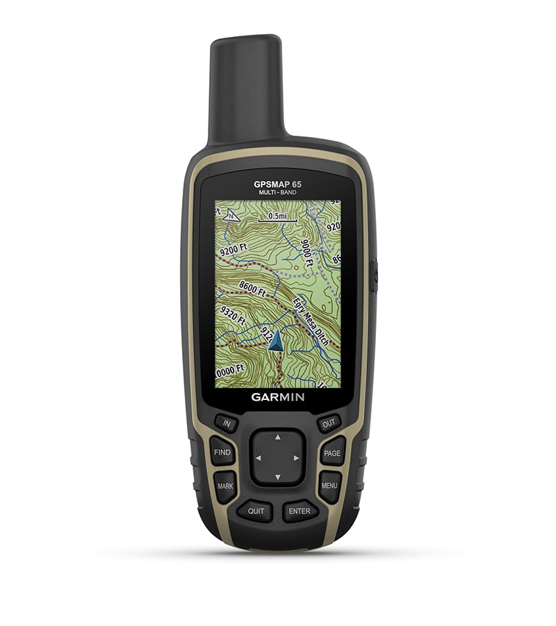
PRELOADED TOPO MAPS

Preloaded TopoActive U.S. and Canada maps show you terrain contours, topographic elevations, summits, parks, coastlines, rivers, lakes and geographical points.

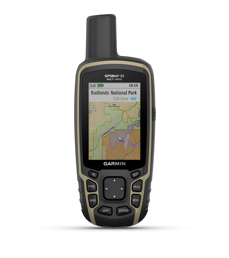
PUBLIC LAND BOUNDARIES

An optional display of federal public land boundaries on topographical maps helps you know that you’re venturing where you’re supposed to be.
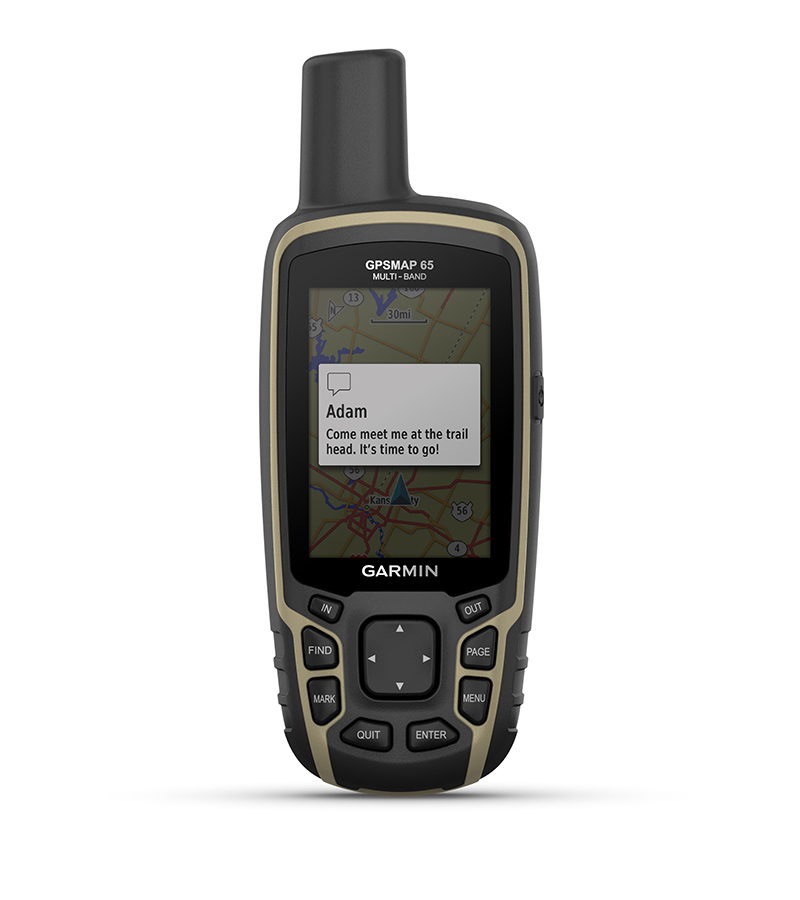
SMART NOTIFICATIONS

Receive emails, texts and alerts right on your handheld when paired with your compatible device.
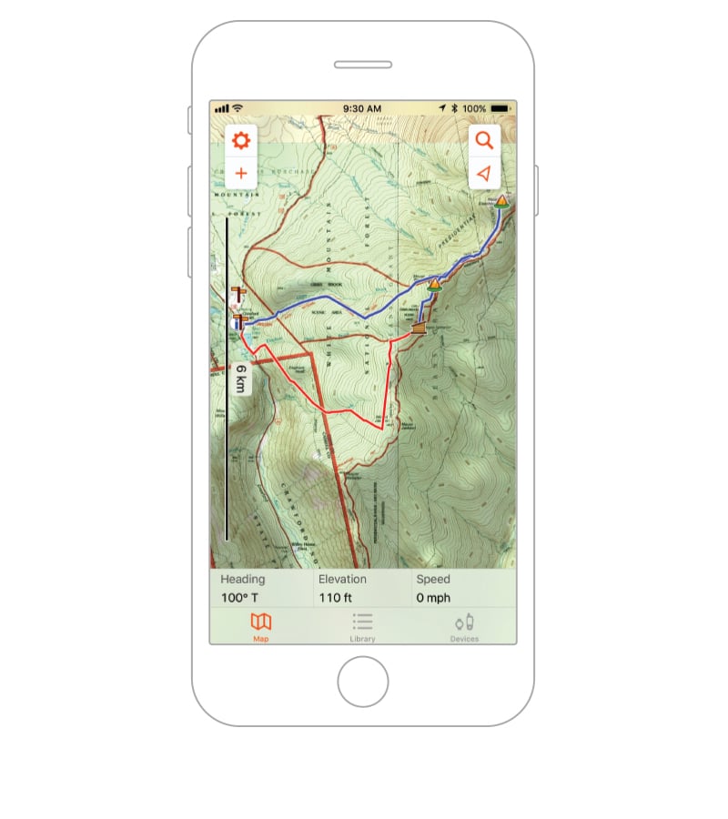
GARMIN EXPLORE APP

Plan, review and sync waypoints, routes and tracks by using the Garmin Explore app1 and website. You can even review completed activities while still in the field.

MICROSD™ SLOT

Using your compatible device and microSD memory card, conveniently download TOPO 24K maps and hit the trail, or access HuntView Plus maps to see public land types and boundaries as well as private landowner names and boundaries.

GEOCACHING

Get paperless geocaches by uploading GPX files straight to your device. View key information such as location, terrain and hints from Geocaching.com.


Garmin Explore app for off-grid navigation and more

Learn More

1 When paired with your compatible smartphone
Wi-Fi is a registered trademark of the Wi-Fi Alliance.

General

Physical dimensions 2.4" x 6.3" x 1.4" (6.1 x 16.0 x 3.6 cm)
Display size 1.43" x 2.15" (3.6 x 5.5 cm); 2.6" diag (6.6 cm)
Display resolution 160 x 240 pixels
Display type transflective, 65K color TFT
Weight

7.7 oz (217 g) with batteries

Battery type 2 AA batteries (not included); NiMH or Lithium recommended
Battery life 16 hours
Water rating IPX7
High-sensitivity receiver  
Interface high speed mini USB and NMEA 0183 compatible
Memory/History 16 GB (user space varies based on included mapping)

Maps & Memory

Preloaded maps

yes (TopoActive; routable)

Ability to add maps  
Basemap  
Automatic routing (turn by turn routing on roads) for outdoor activities  
Map segments 3000
BirdsEye 250 BirdsEye Imagery files
Includes detailed hydrographic features (coastlines, lake/river shorelines, wetlands and perennial and seasonal streams)  
Includes searchable points of interests (parks, campgrounds, scenic lookouts and picnic sites)  
Displays national, state and local parks, forests, and wilderness areas  
External memory storage yes (32 GB max microSD™ card)
Waypoints/favorites/locations 5000
Tracks 200
Track log 10000 points, 200 saved tracks
Routes 200, 250 points per route; 50 points auto routing

Sensors

GPS  
GLONASS  
Galileo  
QZSS  
GPS compass (while moving)  
Multi-band frequency support  

Daily Smart Features

Smart notifications on handheld  
VIRB® Remote  
Pairs with Garmin Connect™ Mobile  

Outdoor Recreation

Point-to-point navigation (It only show in straight line.)  
Compatible with BaseCamp™  
Area calculation  
Hunt/fish calendar  
Sun and moon information  
Geocaching-friendly Yes (Paperless)
Custom maps compatible yes (500 custom map tiles)
Picture viewer  

Outdoor Applications

Compatible with Garmin Explore™ app  
Garmin Explore website compatible  

Connections

Wireless connectivity

yes (BLUETOOTH®, ANT+®)

  • GPSMAP 65
  • USB cable
  • Carabiner clip
  • Documentation

Loading

Loading

Loading