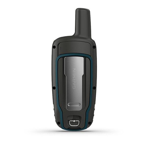
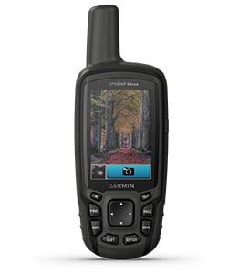
GPSMAP 64x
Navigate your next adventure with the GPSMAP 64x handheld navigator series. Whether you’re hiking, cycling, geocaching or climbing, you are free to explore more with proven Garmin handheld navigation in the palm of your hand. And the series now has multi-GNSS support and TopoActive mapping.
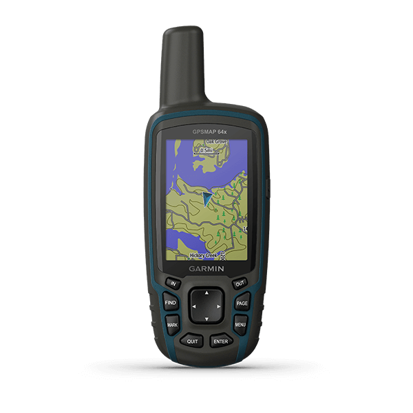
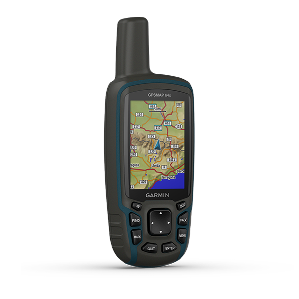
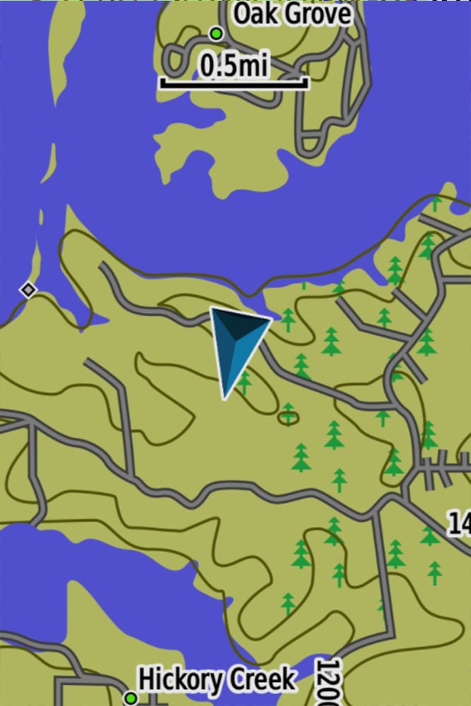
The GPSMAP 64x handheld series comes preloaded with TopoActive maps featuring routable streets and trails so you can take the journey off the grid. Now you can know your surroundings — such as waterways and natural features as well as buildings, international boundaries and more. You can also find thousands of points of interests, including shops, restaurants, universities, parks and accommodations.
With its quad helix antenna and high-sensitivity receiver and multiple global navigation system support (GPS, GLONASS and Galileo), the GPSMAP 64x series locates your position quickly and precisely and maintains its location in more challenging environments than GPS alone.
The GPSMAP 64x series also supports BirdsEye Satellite Imagery (subscription required) that lets you load satellite images and integrate them with your maps.
With GPSMAP 64csx, you can capture the highlights of your outings with the built-in 8-megapixel autofocus camera. Each photo is automatically geotagged with the location of where it was taken, allowing you — or those you share your photos with — to easily navigate back to that spot in the future.
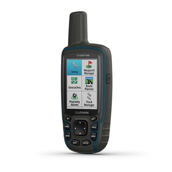
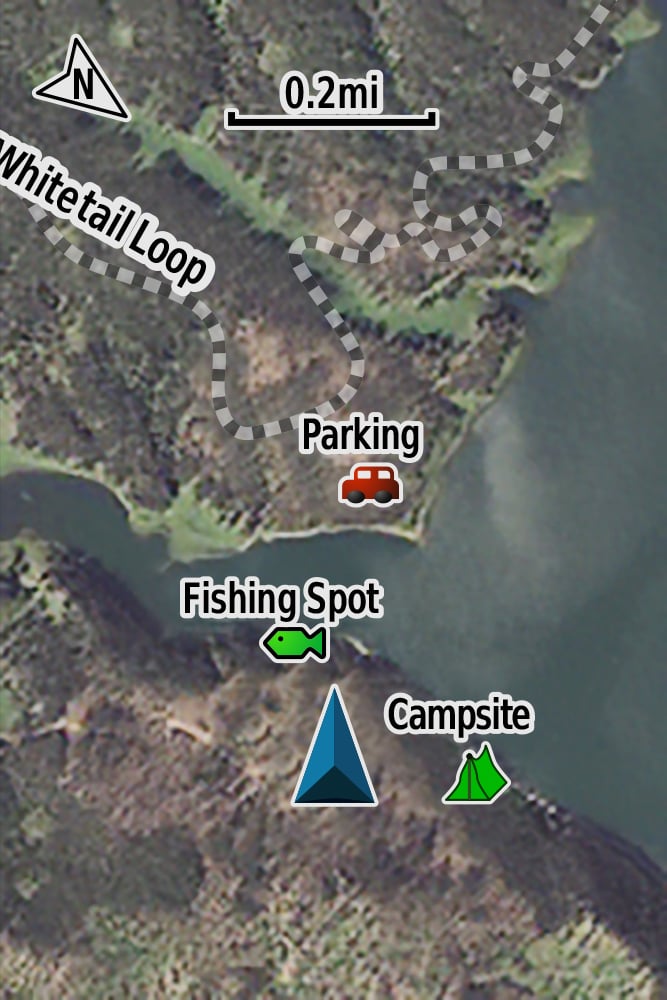
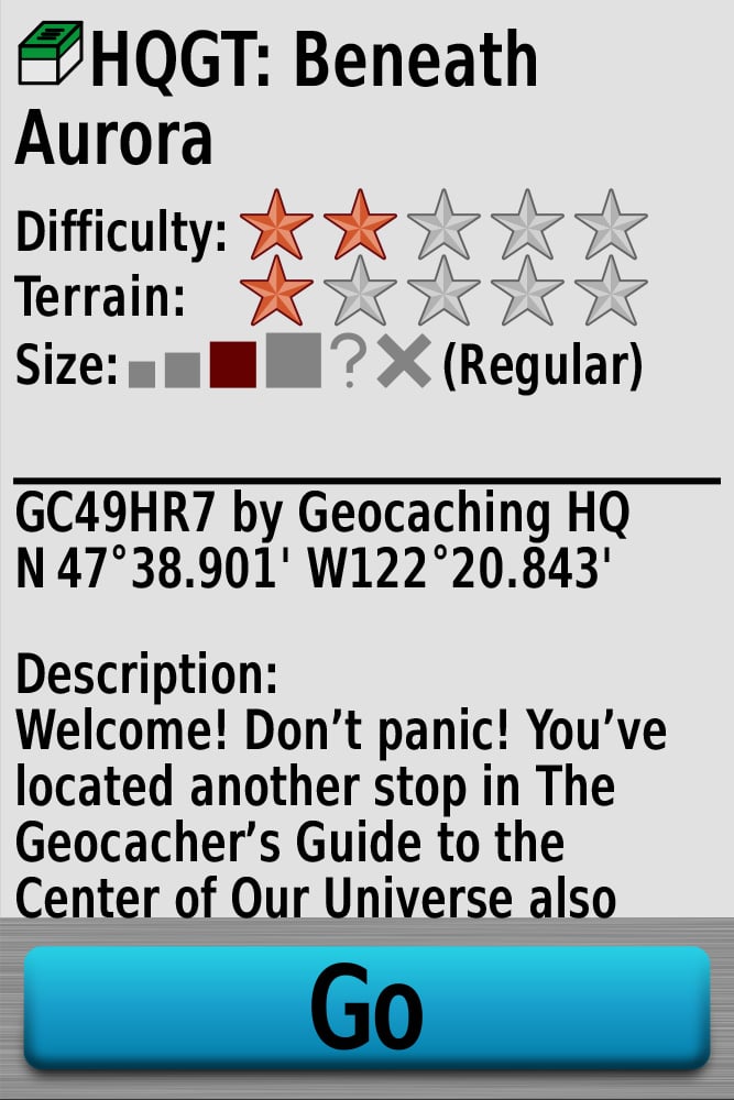
The GPSMAP 64x series features paperless geocaching. Upload GPX files straight to your device, and view key information such as location, terrain and hints from Geocaching.com.
The Bluetooth word mark and logos are registered trademarks owned by Bluetooth SIG, Inc. and any use of such marks by Garmin is under license.
General |
|
| Physical dimensions | 2.4" x 6.3" x 1.4" (6.1 x 16.0 x 3.6 cm) |
| Display size | 1.43" x 2.15" (3.6 x 5.5 cm); 2.6" diag (6.6 cm) |
| Display resolution | 160 x 240 pixels |
| Display type | transflective, 65K color TFT |
| Weight | 7.7 oz (217 g) with batteries |
| Battery type | 2 AA batteries (not included); NiMH or Lithium recommended |
| Battery life | 16 hours |
| Water rating | IPX7 |
| High-sensitivity receiver | |
| Interface | high speed mini USB and NMEA 0183 compatible |
| Memory/History | 8 GB (user space varies based on included mapping) |
Maps & Memory |
|
| Preloaded maps | (TopoActive; routable) |
| Ability to add maps | |
| Basemap | |
| Automatic routing (turn by turn routing on roads) for outdoor activities | |
| Map segments | 3000 |
| BirdsEye | 250 BirdsEye Imagery files |
| Includes detailed hydrographic features (coastlines, lake/river shorelines, wetlands and perennial and seasonal streams) | |
| Includes searchable points of interests (parks, campgrounds, scenic lookouts and picnic sites) | |
| Displays national, state and local parks, forests, and wilderness areas | |
| External memory storage | (32 GB max microSD™ card) |
| Waypoints/favorites/locations | 5000 |
| Tracks | 200 |
| Track log | 10000 points, 200 saved tracks |
| Routes | 200, 250 points per route; 50 points auto routing |
Sensors |
|
| GPS | |
| GLONASS | |
| Galileo | |
| GPS compass (while moving) | |
Outdoor Recreation |
|
| Point-to-point navigation (It only show in straight line.) | |
| Compatible with BaseCamp | |
| Area calculation | |
| Hunt/fish calendar | |
| Sun and moon information | |
| Geocaching-friendly | (Paperless) |
| Custom maps compatible | (500 custom map tiles) |
| Picture viewer | |
Related